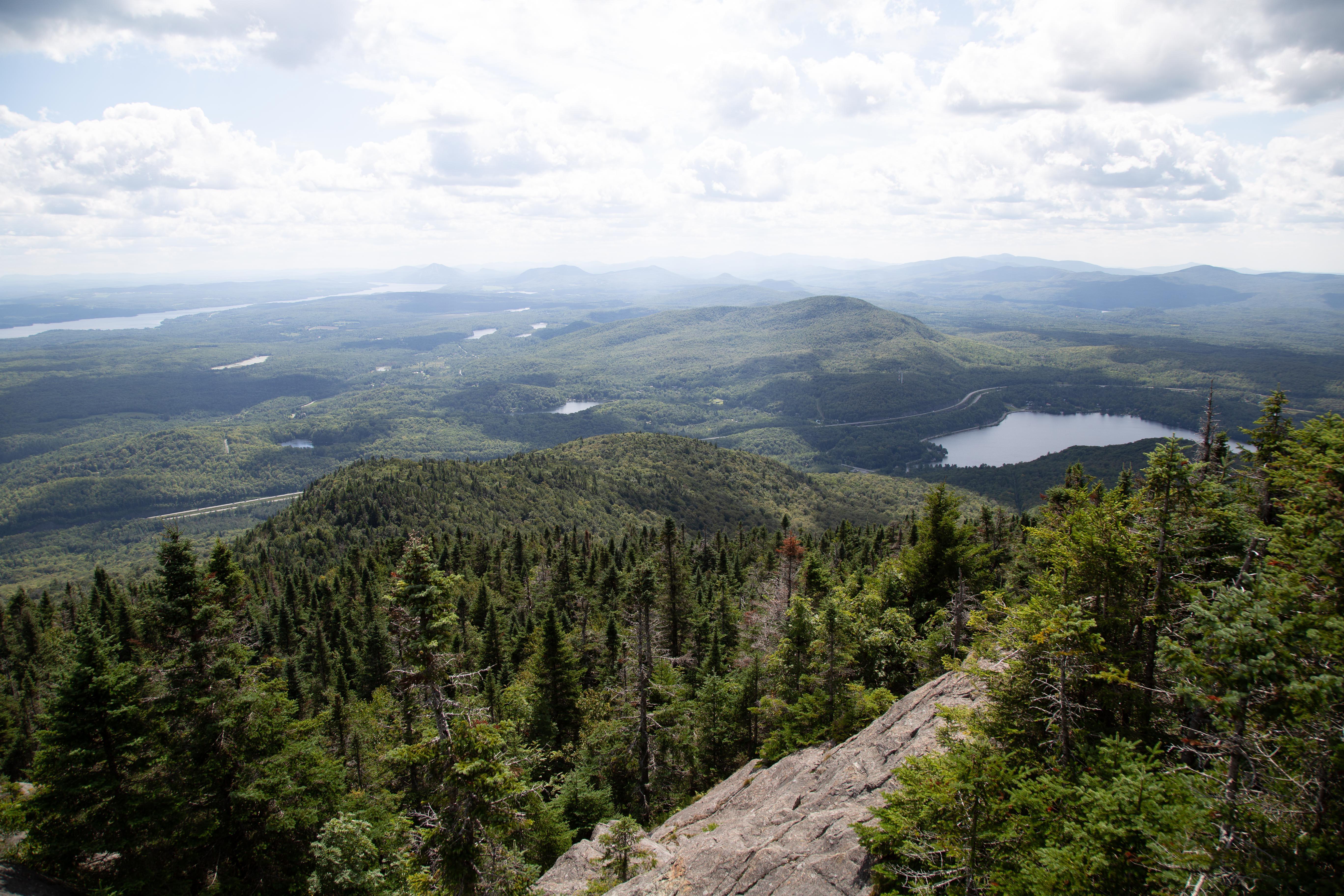
On September 21, 2010, Anne Pelouas described it as such in Géo Plein Air :
“The trail was already beautiful, and somehow, it’s now even better than before. Mont Orford’s Sentier des Crêtes is one of the trails that Sépaq redesigned without losing any of its substance or beauty. It’s retained all of its charm including the rocky, uneven footing and its many challenges, which make the panoramic views at the top feel like the ultimate prize. The north-side departure has been only partially restored. [From Le Bonnallie service center], what you need to do is take the access path 9 for 1.5 km [0.9 mi.] before reaching the foot of the trail …. After a short walk in the forest, the trail begins to head upwards into a forested area with an all-natural staircase carved into rock by nature. Here you’ll come across the first visual treat. It then becomes a switchback trail and continues to climb up Pic de la Roche Fendue, which looks down on Lake Stukely. From there, the Pic de l’Ours is still about 800 m [2,625 ft.] away and 740 m [2,428 ft.] above sea level. The trail goes along the ridge, crosses through a few groves, and continues over grassy or rocky open ground before finally reaching the summit.
From the south side of Pic de l’Ours, hikers can enjoy a stunning view of Lake Memphrémagog. Then from there, it’s possible to continue on to Mont Orford …. It truly highlights all the different geological formations, forest strata and points of view.”
Read the full article here

